A Storm That Refused to Move
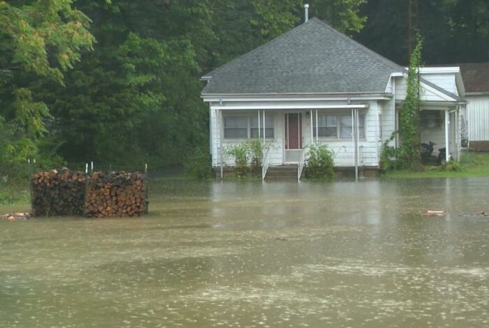
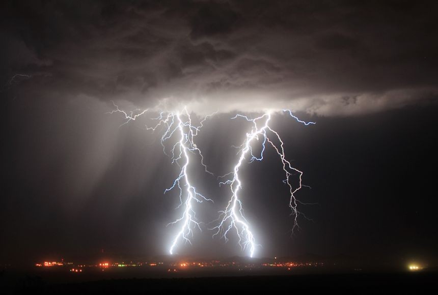
Indiana is reeling from one of the most destructive flooding events in its recorded history, after a stalled weather system parked itself over the state for the better part of a week and refused to budge. What began as a violent line of thunderstorms on August 11 turned into a slow-motion catastrophe, as rain band after rain band trained over the same waterlogged ground, pushing rivers and creeks well past anything engineers had planned for.
By the time the skies finally cleared, some communities in central Indiana had recorded more than 11 inches of rain in a single three-day stretch. In Henry County, one rain gauge topped 11.5 inches over two days alone. The result was a flood event that didn’t just break records — in several places, it obliterated them.
White River Crushes a Century-Old Benchmark
Nowhere was the damage more dramatic than along the White River. In Anderson, the river rose to nearly 25 feet, smashing a mark that had stood since 1913 — more than a century of flood data rendered obsolete in a matter of days. Downstream in Indianapolis, forecasters expected the river near East 75th Street to crest well above 20 feet, nearly double the official flood stage of 11 feet.
What makes the flooding especially alarming to hydrologists is timing. Unlike the seasonal floods that typically follow winter snowmelt, this was a pure rainfall event in the middle of summer — evidence, meteorologists say, of how much moisture a warming atmosphere can now wring out of a single stalled storm system. Scientists have pointed to a broader pattern: the kind of “training storm” setup that fueled this disaster, where a jet-stream configuration essentially locks a front in place, has become markedly more common in recent decades as the Arctic warms and the jet stream slows down.
Rescues, Evacuations and a Rising Death Toll
The human toll has mounted steadily since the storms began. Officials across multiple counties have confirmed at least seven deaths tied to the flooding, including a resident in Perry County who died during a medical emergency after floodwaters made local roads impassable for first responders.
In Indianapolis alone, fire crews say they have pulled 95 people and 45 pets from flooded homes and vehicles. More than 350 evacuations were reported in Delaware County by the middle of the weekend, and a derecho that tore through the region on August 11 knocked out power to more than a million customers before the flooding even peaked.
Video and images from the weekend showed residents paddling kayaks down streets that had become rivers, with several suburbs of Indianapolis still partially submerged as of Sunday. The National Weather Service warned that additional thunderstorms moving through central Indiana could trigger fresh flooding in neighborhoods that had only just begun to drain.
A Governor’s Appeal and Tough Questions About Infrastructure
As the scale of the damage became clear, Indiana’s governor formally requested federal disaster assistance, a move that could unlock emergency funding for both individual households and hard-hit local governments. State emergency management officials are still compiling damage assessments, but early estimates point to widespread destruction of homes, roads and public infrastructure across a broad swath of central and southern Indiana.
The disaster has also reopened a difficult conversation about whether the state’s flood-control systems, many of them designed decades ago against historical benchmarks like the 1913 flood, are still adequate. With this summer’s event now surpassing that century-old high-water mark, some engineers and climate researchers argue that the so-called “1-in-100-year flood” standard no longer reflects the reality communities are facing on the ground.
What Comes Next
Recovery efforts are expected to stretch on for weeks. Utility crews are working to fully restore power across the derecho-damaged region, while local governments assess road and bridge damage before reopening routes that remain flooded or structurally compromised. Shelters remain open for displaced families, and emergency officials are urging residents in low-lying areas to stay alert as rivers slowly recede.
For a state more accustomed to spring flooding than midsummer disaster, the past week has served as a stark reminder that seasonal assumptions about extreme weather may no longer hold. As cleanup begins, Hoosiers across the flood zone face the same question now being asked in communities nationwide: how do you rebuild for a climate that